Nam Hao Dam Hydropower Info by Hobo Maps - Go to Hydropower Projects Page - - - HOME
Also called the Nam Haw Dam hydropower project by some older sources.
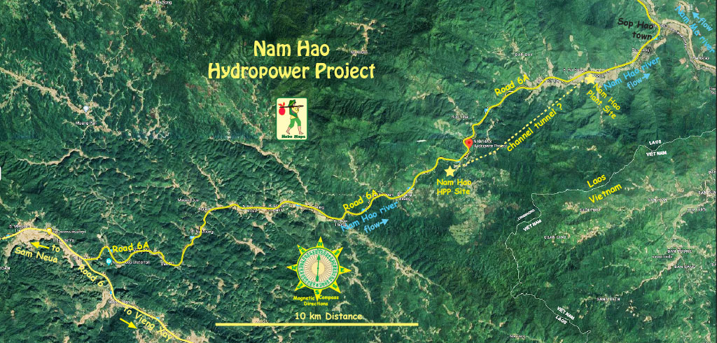
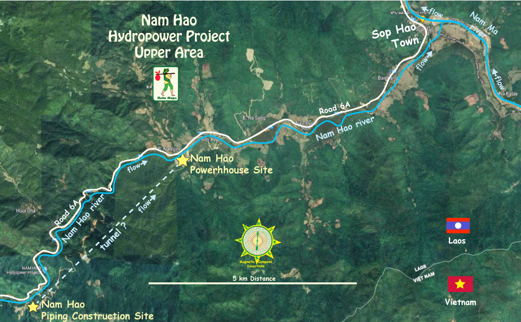
Nam Hao Dam hydropower project is located along National Road 6A and the Nam Hao (river) in Sop Bao District, Houaphan Province of Lao PDR, not far southwest of the Lao-Vietnam border checkpoint at Sop Hao town.
The Nam Hao river flows along National Road 6A in a northeasterly direction until it reaches the Vietnam border at Sop Hao where it joins the Nam Ma river close to the border with Vietnam.
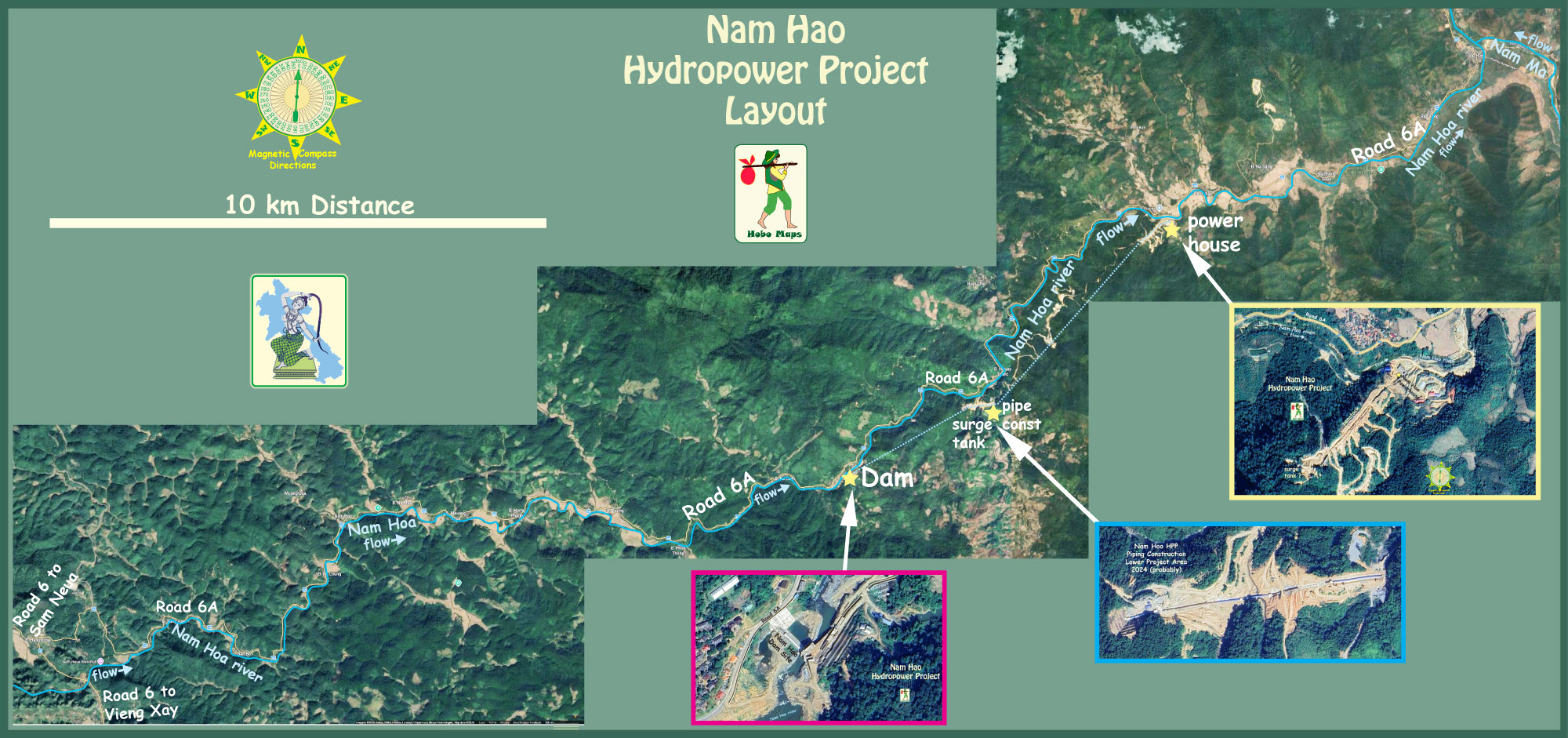
Nam Hao HPP layout image below along Road 6A & Nam Hao river - note color-coded inserts match with larger images below. Can also see larger scale main map at Nam Hao Layout Large Size
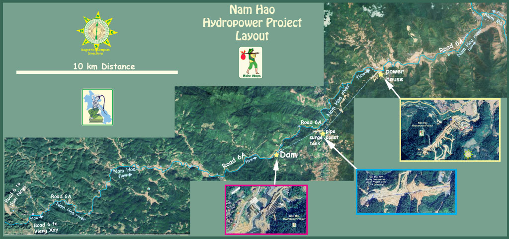
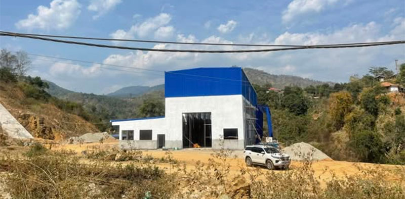
The powerhouse location in image below is at coordinates - 20°32'02.4"N 104°23'18.9"E (20.533987, 104.388582).

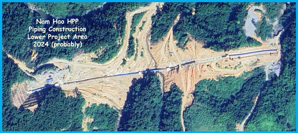
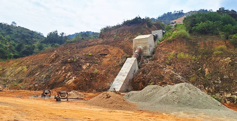
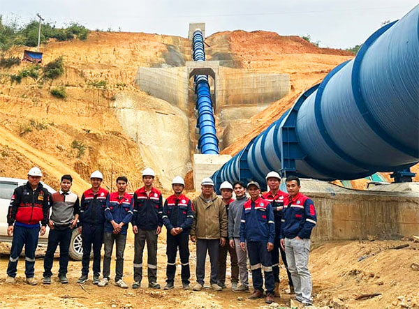
Image below shows major piping construction at coordinates - 20°30'01.1"N 104°21'11.3"E (20.500306, 104.353139) about one third of way between the dam area and the power house area. Not sure what this is for, maybe some sort of or water diversion or connected with a surge tank.
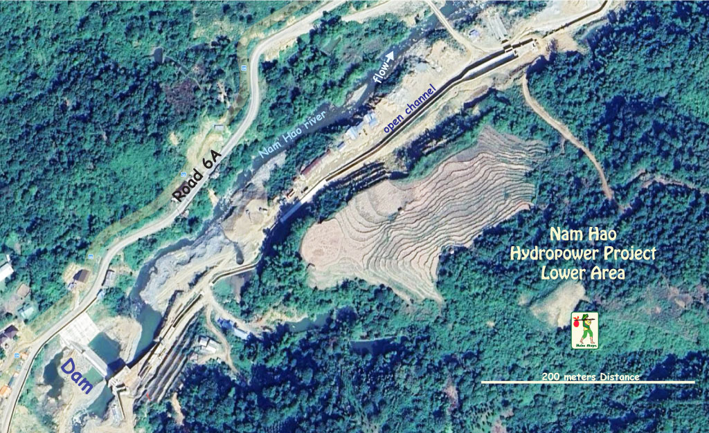
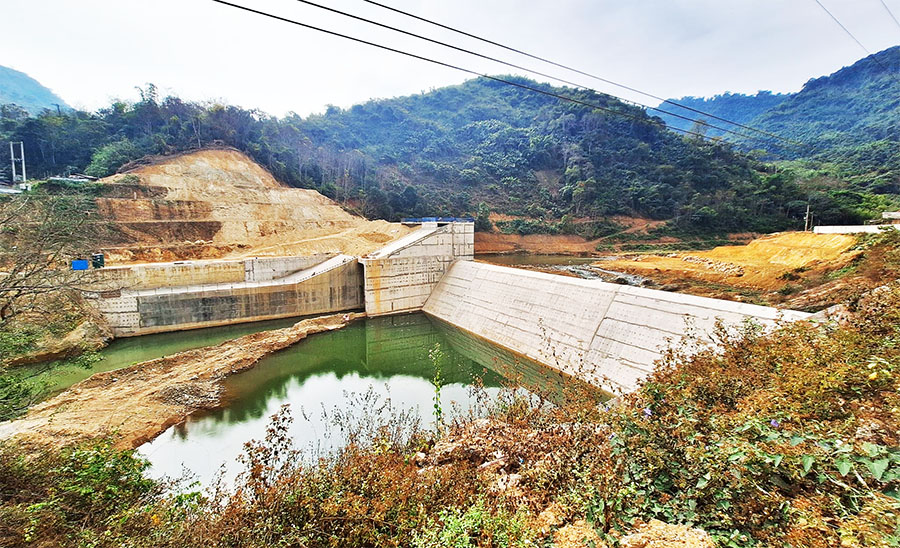
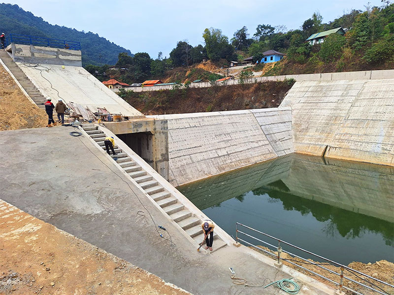
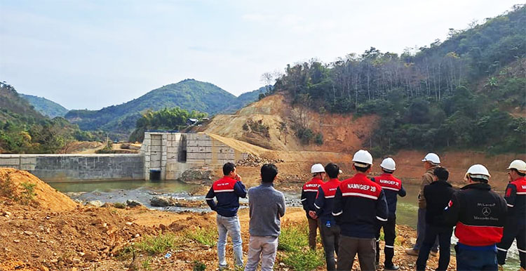
Nam Hao dam site located at coordinates - 20°29'11.2"N 104°19'34.8"E (20.486444, 104.326333) in image below:
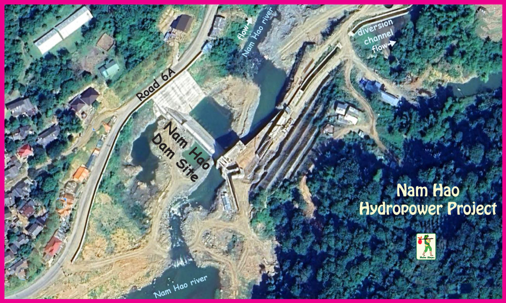
The project is a Run-Of-River type with either 22.5 or 23 MW capacity.
The project developer is maybe Laos-based DDC Sole Company Ltd. (Duang Chaleurn Group Construction Development Co., Ltd.)
Another source has the project owner as Nam Hao Chaleun Power Co., LTD.

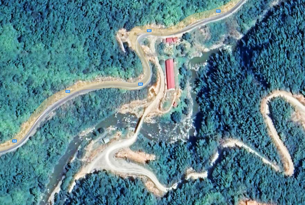
Nam Hao HPP administration building in image below at coordinates - 20°30'17.6"N 104°21'22.0"E (20.504889, 104.356111):
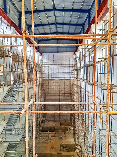
Nam Hao Dam construction images below from Feb. 2024 Facebook posting by Nonghai Group (whose employees were apparently making a visit to Nam Hao HPP).



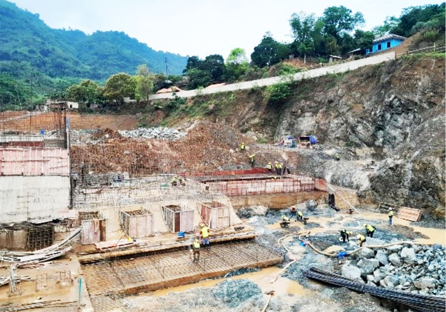
Earlier construction images below, probably in 2023:


Not sure if image below from EDL GEN website is actually for this Nam Hao HPP since the 15 MW capacity is different than other sources at 22.5 & 23 MW.